Wednesday, May 31, 2017

Reply to Duchess on AIS A vs B

I had a question from Dutchess on which is better AIS A or B? I'm  going to reply in a post instead of directly to Dutchess since the subject may be of interest to others.

If you want to participate in AIS (Automatic Identification System) you have several choices:
You can chose to just receive AIS signals from other boats and not transmit your own position. This is the least expensive option. You will need an AIS receiver such as  AMEC CYPHO-150S for $259. It has an internal signal splitter so you can connect it to your VHF antenna on top of your mast for maximum range.

If you you want to transmit your position so others with an AIS receiver can see you (such as very big ships) then you will need either a Class A or Class B transceiver. Class A is for the big boats, it transmits more often and with greater power but it costs more, around $1700. The AMEC CAMINO-701 is such a unit. Be aware that the $1700 cost is only the tip of the iceberg. You would need a heading sensor, GPS antenna, a VHF antenna, a junction box for interfacing with on board equipment, it costs more than the $1700. Only big ships have them installed.

If you want a simpler solution to transmit an AIS position and also receive AIS info from other boats you can chose the CAMINO-108S Class B transponder for $649 (check the box with the integrated splitter). It comes with an internal GPS receiver but requires an external GPS antenna which you can get for $49, the GA-22. Just connect the external GPS antenna, split the power to your VHF radio and route the VHF antenna wire from the mast to the unit. No separate antenna splitter is required. Note, the antenna splitter is an active splitter. It does not introduce signal loss like a dumb splitter. It switches between the AIS transponder and VHF radio in real time with the VHF radio taking precedence if there's a conflict.

On my boat I installed a Class B transponder and routed the output to my Garmin 492 chartplotter but any modern chartplotter will accept AIS input and display the targets on your chart as you move along in real time. The image to the right is AIS data from my Class B transponder as shown on my Garmin 492 chartplotter as I moved through New York Harbor. Note the intersecting red and black lines (black line for me in 10 minutes, red line for someone else in 10 minutes, we are headed to meet, he later changed course).

Tuesday, May 30, 2017

Poughkeepsie Yacht Club - At home on my dock, last post until 9/15/2017

This looks very big when passing close by!
It was a long day. The lousy weather continues but at least it didn't rain today. The high was only 61, really cold for the end of May. We got off our anchor by 7:17 am and started north. We had looked at the current tables and have learned that a favorable current is always later than predicted. We were supposed to hit a slack tide at the Verrazano-Narrows bridge but it took another two hours up to the George Washington bridge before the adverse current stopped.

The boat at the left edge got my attention!
We had intended stopping at Haverstraw Bay but when then we finally got a favorable current and started hitting 9 kts so we decided to soldier on. Beside, the next day's forecast was even worse than today, lots of rain.

Along the way we passed three naval vessels that were apparently in town for the Memorial Day weekend. One was an aircraft carrier, very impressive when so close. I can also vouch for the effectiveness of having AIS displayed on your chartplotter. At a glance you can see which very large boats are anchored and which are moving, very important when running through New York harbor. All the ferries have AIS too. Most chartplotters will give you a choice on how to display other boats on AIS. For me I chose the option of projecting a line where I will be in 10 minutes and the same option for other boats. If the two lines intersect, then you have a problem to solve to avoid a collision. Furthermore, there are two types of AIS. Class A just receives signals, Class B will not only let you see other  boats AIS signal but it will also transmit your own position so you're visible on their AIS displays. I have Class B, everyone should. If you want to use your VHF antenna at the top of your mast (for maximum range) then you will also need an active splitter which automatically switches between the AIS transponder and your VHF radio with no signal loss.

I was a great cruise, now it's time to get ready for the fall and our next trip down the ICW
We are now securely tied up at our home for the next 3.5 months. I have a long list of todo's that include publishing the 2017 version of the ICW Cruising Guide. It will  be greatly expanded with many new sections.

So this is my last blog post until 9/15 when I hope you will join me again for another trip down the ICW to Key West Florida. There may be a vew interim posts when we take our four grandkids for a Long Island cruise, we are looking forward to that as are the kids. Thanks for reading the blog, it's been fun.

Monday, May 29, 2017

Atlantic Highlands - at anchor with cold and rain for comfort

A second iteration of the iris - I like it better than the first one
Rain storms came sweeping in from the west even though we had a 15 to 20 kt east wind (humm, how does that work...)  We watched the multiple storms approach and move through but there always seemed to be another one right behind. We almost left, we took the motor off the dinghy and were ready to turn on the engine when yet another storm appeared on the weather radar. That was around 11:00 am. With that we decided the better course of action was just to stay put. Navigating through New York Harbor in a driving rain and wind is not a good thing to try. We're just in not that much of a hurry, let the dozen or so ferries and a like number of tugs and barges battle it out without us, at least until there's better visibility.

Tuesday is predicted to be a better day as far as visibility, the temperatures will still be in the 60's with an overcast sky, ugh. The only good thing is the flood tide that should carry us far up the Hudson River in the morning. If you can catch the flood tide at the Battery in NYC, then you can ride it up the river all the way to the Poughkeepsie YC. This only works going up the Hudson since the flood tide is progressively later in the day as you move north.

Nobody left today, we're all in a row
Ann spent most of the day painting with her pastels (see photo) and I read. The genset is a real blessing in such weather, we were nice and warm. When taking Hoolie ashore he somehow got it into his head to jump the dinghy before I got ashore and he found himself in neck high water. On occasion I've had him jump into the water when the dinghy touched bottom. Then he's ankle deep, no problem. He was probably thinking of that when he jumped. Now I had a saltwater wet dog.

Once again we plan on leaving in the morning in anything other than a downpour. We've given up on getting warm weather but we do want to avoid rain going through NY harbor.

Sunday, May 28, 2017

Atlantic Highlands - at anchor

Goodbye Atlantic City until next year
We said our farewells to Atlantic City at 5:45 am and headed north. There was a regular armada of  boats going north, about a dozen that I could see. The Coast Guard was posting a small craft advisory Monday night so the window was now and everybody took advantage of the opening in the weather. Still, what's with the weather? It's almost June and the temperatures are still in the 60's!

A great dinghy dock at Atlantic Highlands
The winds and waves were exactly as predicted by PocketGrib using the grib file produced by NOAA. Just light winds off the aft quarter and little wave action. We like a comfortable ride when going 80 Nm in a day.

The moorings here are $50/day, way overpriced. As usual, we opt'ed to just anchor which we prefer to a mooring anyway. There's room for at least a dozen boats but there are only four of us here tonight. There's a 15 minute (time limit) dinghy dock down the second fairway past the fuel dock. So we have everything we need in an anchorage.
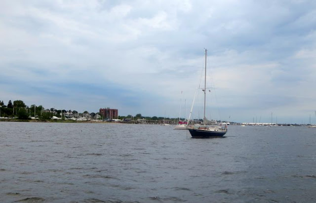
Lots of room in the anchorage, why pick up a mooring??
On Monday we would like to run up the river with the tide behind us all the way to our home, Poughkeepsie YC but the weather does not look good, rain all day long. I really do not want to navigate through NY harbor in a driving rain with a ferries and very large boats going in all directions. So we will wait for the rain to cease before hauling anchor and perhaps we'll not make it to PYC which leads us to the Haverstraw Cove anchorage for the night, about six hours south of PYC. That put us home on Tuesday instead of Monday. As usual, the weather is king, we'll see Monday morning.

Saturday, May 27, 2017

Atlantic City - at a dock by The Golden Nugget

The marina was full!
"Style and Grace" didn't jump ship this morning as we exited our slip. We accounted for all the lines this time and came out without embarrassment. For once the forecast was accurate with light winds behind us and no chop but a 3 to 4 ft swell which was no problem given the long period (7 sec). So we settled into our 1/2 hour on and 1/2 hour off routine and made it to Atlantic City by 2:00 pm.

The entryway to the Golden Nugget
We treated ourselves to a dinner at The Charthouse which was outstanding. We walked through the casino after dinner and the place was packed. In fact, the marina barely has any empty slips. I was amazed at how crowded it was. We usually pass through before Memorial Day or after Labor Day which is not during the busy season apparently. There wasn't an empty table at the Charthouse either. I guess it's good to see business booming. We picked up sandwiches for the trip north on Sunday.

There's a pool on the 6th floor, available to boaters too, cool today though
The weather report has seemed to settled down to a good day for going north on Sunday. All the services we follow agree for a change: NOAA Coastal forecast, PocketGrib and SwellInfo. Of the three services, we've found PocketGrib to be the most accurate followed by SwellInfo. The coastal forecast seems to lag the other two in timing. It eventually agrees with PocketGrib but only after 6 hours or so.

I bet Finn and Rowan would have lots of fun with one of these in the house!
The leg to the Atlantic Highlands is the longest of our cruise.81.4 Nm. It usually takes about 11.5 hours so we'll leave at least by 6:00 am to give us plenty of time. Hopefully, the weather will turn out as predicted!

Friday, May 26, 2017

Cape May - Last day

The dredgers are still squatting in the favorite anchorage in Cape May, but a few boats are still anchoraged
Well, it's been okay but it's time to move on. The marina is very well protected and I've heard that people have ridden out hurricanes in this marina. We've had no hurricanes but we did have high winds. We've been comfortable but Saturday looks like a go day for getting to Atlantic City.

We're having spring tides and the lows have been -0.8 ft! In walking Hoolie today we saw one boat in a place where we've anchored before, it's shallow. The big power boat (see photo) was hard aground and  had called BOAT/US for a tow. When you anchor, all you really have to do is to look at the nearest tide station and subtract that number from whatever depth reading you see when you anchor. If the resultant number is less than your keel, then you will be aground. How difficult is that? I went out tonight with Hoolie and the boat was gone.

Let's see, if you keel is deeper than the water, you're aground!
Last night Sunday was a good day for reaching Atlantic Highlands. This morning winds of 18 kts on the nose was forecast. Now, tonight the forecast is once again favorable with winds less than 10 kts. Hopefully, that good forecast will not change but who knows? We just happened to hit the Golden Nugget on Memorial Day weekend when they jack up the rates to $4/ft. Now that's not nice and we could anchor out but we do like our comfort when in Atlantic City so we'll foot the bill. Plus, I promised Ann a dinner out at the Charthouse restaurant there.

If all goes according to plan, we'll shove off for Atlantic Highlands on Sunday morning for our longest trip of the cruise (if the forecast holds).

Thursday, May 25, 2017

Cape May - We explore Cape May shores

We actually saw the sun today so we visited the lighthouse/
We awoke to a driving rain in the morning, what else is new? It eventually stopped and the rest of the day was almost okay except for the 60 degree temperatures. We had rented a car for provisioning yesterday afternoon so we took today to cruise around the beaches of Cape May.

If you take the round the Cape route on the inside, you'll have to contend with the standing waves
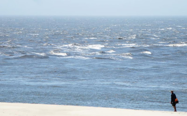
You have two choices in passing by Cape May. You can take either the Cape May Canal with the 55 ft bridges or go around the cape and brave the currents. Going around the Cape you have other choices. Either the inside passage taken by the Whale Watcher boat which hugs the shore, one a little farther out or one that takes the channel used by the large ships which adds a lot of miles to the route. If you go around the Cape be prepared to brave the currents if you select a time where the current is against a strong wind. The waves build up and are square. That was the case today in the video and in the photos I took. We've done both, taken the route around the Cape and also the route under the bridges. If I choose the Cape route, I'm very careful to do it in calm winds and slack tide. The local fishermen can take the standing waves created by opposing wind and tide but I don't want to try my hand at that without a lot of practice.

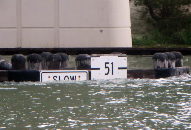
There is not 55 ft at high tide, but the formula given below works
The route under the two Cape May Canal bridges is fine if you can clear the height restrictions. They are rated at 55 ft at high tide but that is not the case (see photo). The way to figure if you can clear is to start with a clearance of 58 ft at low tide and adjust the height for both the predicted tide per the tide tables and the actual vs predicted delta measured at the NOAA water height station at the mouth of the canal on the western end. So the equation works out to be 58ft - (tide) - (water height above predicted per the NOAA station). If the resultant number is more than your mast, then you can clear the two bridges.

As an example, when I came through on Tuesday the tide was at 1 ft above MLLW as given by the tide station at the western end of the canal. The NOAA actual vs predicted gave the result that the actual tide was 1 ft above predicted so the equation yielded: 58 - 1.0 ft tide - 1.0 ft actual vs predicted = 56 ft. With my 55.3 ft mast I had plenty of room, over 1/2 ft!  Just to keep things interesting, the height boards were unreadable for the bottom half due to scum and several were broken off below the 52 ft mark. No problem, I've been through here a dozen times and my formula has always worked.

There's a great fish market over at The Lobster House, we crab stuffed flounder tonight with stuffed clams
Over the last few days with the east wind and heavy rains, the water has risen even higher, almost 1.5 ft above predicted so if you  venture through the canal route, be very sure to look at that predicted vs actual tide station along with the tide per the tide stations.

The winds on Friday are close to 20 kts all day so we'll take yet another day off and start north again on Saturday for Atlantic City and hopefully for Atlantic Highlands in New York Harbor on Sunday, if the weather holds.

Wednesday, May 24, 2017

Cape May - Rained all night long, cold today

Paul May is a dependable diver in Cape May - he's a local
There is no joy here. Rain, wind, temperatures, in the 60's at best, etc. At least we're at a marina where we can plug in to 120v and have heat throughout the day and night. We're due to get another storm tonight with winds topping 20 kts and lots more rain. We are only four days out of our homeport at the Poughkeepsie YC but the leg up the New Jersey coast is proving difficult.

His truck is the equal of any machine shop - amazing
Meanwhile, we had a diver come by to look at our prop for any remains of the crab buoy we ran over in a driving rain. The rain came down in sheets and we had great difficulty seeing anything, much less a crab buoy. The prop was running rather smoothly so we didn't expect him to find anything but we wanted to be sure. As it turned out, he did find about a foot of rope still around the shaft which he removed. The last thing we wanted was for a problem to develop when we're off the coast of New Jersey heading north.

Goodbye Paul, I hope I don't need you next year but it's good to know you're around
I surveyed the area for divers and only found Paul May readily available at a reasonable rate. He lives locally but was up in NYC diving to repair a NOAA water level monitoring station. He came by this morning promptly as promised.

The storms just keep coming at us. The first bleak window of opportunity looks to be Saturday and an outside change of a trip from Atlantic City to Atlantic Highlands on Sunday. Unfortunately, this is Memorial Day weekend and the marina at Atlantic City does not honor my Marina Life discount and on top of that they raised their rates for that weekend from $3/ft to $4/ft! Regardless, we need to head north sometime and if the weather allows it, we'll be there Saturday.

Tuesday, May 23, 2017

Utsch's Marina in Cape May - at their dock, dredgers and more dredgers
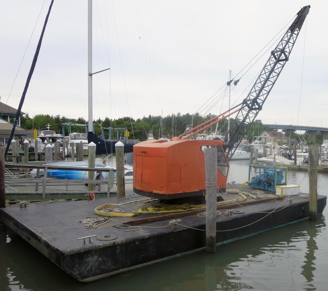
Utsch's has their own dredgers to keep their water level good
I didn't put out the length of scope I should have last night and I wound up getting up and putting out more later during the night. We originally anchored in 25 ft but with the tide it rose to 30 ft later on. My 85 ft was not nearly enough. I finally put out 125 ft which is still a little short but good enough for my ground tackle to hold us against the 1.8 kt current. When we hauled anchor in the morning, it came up clean. The bottom is either sand or very hard.

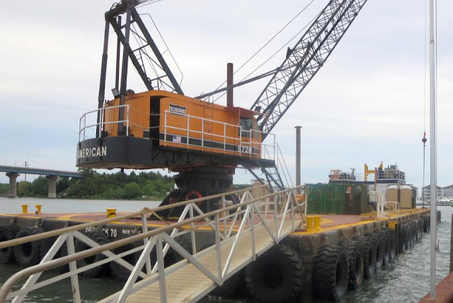
Here's the next size up for more serious work
We were expecting showers in the morning but it dawned clear. We got moving around 7:00 and made the Cape May Canal by 11:15. We saw 7.1 MLW on the way in through the breakwater in the middle of the channel. In the fall I saw 11 MLW. With a low tide we had plenty of clearance under the two bridges, around 57.5 ft, fine for our 55.3 ft mast. Normally we would see 58 ft at a 0.0 low tide but according to the NOAA tide station at the mouth of the canal, the tides were running 0.5 ft higher than normal. If you plan on going through the canal, you ought to read my article on how to calculate your clearance for a safe passage.

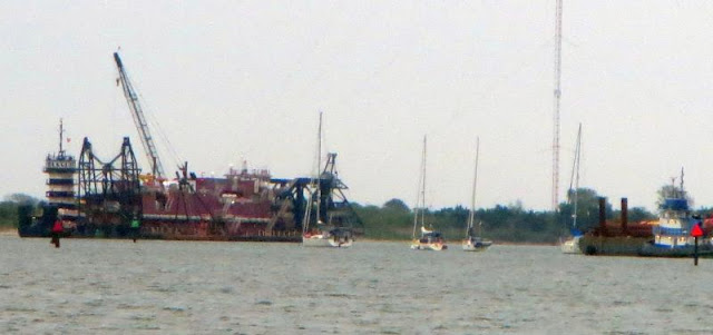
Finally, here the anchorage hogging dredgers by the Coast Guard station
Utsch's is full! Everybody is backed up waiting for good weather which is not around the corner. Yesterday the forecast was for a good day going north on Wednesday but that window closed today. Now NOAA is predicting 17 kt winds out of the north on Wednesday, not a happy ride. With that we are staying put. We'll let more adventurous souls venture forth but not us. Now it looks like Saturday is a better date, we'll see.

Still, we're happy here in a slip normally reserved for locals due to demand
We heard that the popular anchorage by the Coast Guard station is full of very large dredgers. I took a photo off the end of the dock here and I could still see a few boats braving the anchorage but not many. Meanwhile, we'll sit out the bad weather in the comfort of a dock at Utsch's.

Monday, May 22, 2017

Cohansey Island - at anchor

Hoolie's beach - for some reason he was very interested in that patch of seaweed
This was a terrible day of travel. We started in good season but then ran into rain and then more rain and then more rain, etc. We do have an enclosed cockpit but the "genius" who designed the enclosure thought we needed to have a window over the helm station so we could see the sails. Such a design feature was not appreciated today when the window leaked. It's hard to get a good seal between canvass and a vinyl window when both are horizontal. The rain water would collect and then give the helmsperson a "surprise" when the boat rolled, a splash of water down the neck!

On top of that it was hard to see forward in the downpour and sure enough, we snagged a crab pot buoy that was attached to a toggle (a two piece affair with a rope between the buoys, great for trapping a propeller). Most of it came off but I'm sure there's some left attached so I called for a diver at our next stop at Utsch's Marina. We were referred to a diver that thought it was a real imposition to actually have to dive. He wanted $350 to get his toe wet and then he was on an hourly rate with the minimum charge being one hour! We about choked on that and said, "No thanks". We're used to the southerly rate of $40 to dive to fix a fouled prop or replace a zinc.

The boat behind us search around for awhile but finally decided to anchor near us as is often the case
Well, where to find a diver? I tried the local marine parts store that services the fishermen and he recommended a local guy that was currently in New York (what's he doing there?). He does live in the area and he'll meet us at the marina on Wednesday to remove whatever, if anything, is left on the prop for $100. Boats are expensive but not $350 expensive!

Coming into the anchorage is where I picked up the buoy. It was raining hard and I was having a hard time seeing anything. Ann and I heard the unwelcomed clunk of a buoy hit and feared the worse (go set the anchor before we drift into shallows). However, most of the buoy and line came off and we found we still had forward motion. So we anchored and placed calls. I very much doubt that everything came off, it's not been our experience in the past with encounters with lobster or crab buoys. With a long trip ahead of us to PYC still, we need maximum speed.

Tuesday is also not such a wonderful day so we'll leave at 7:00 am and try to get into Cape May by noon so we can get under the 55 ft bridges in the canal. There appears to be a very narrow window to reach Atlantic City on Wednesday afternoon before the weather closes in again with high winds and waves. If the window stays open, we'll depart for Atlantic City Wednesday around noon and wait for a window for New York.

Sunday, May 21, 2017

Chesapeake City - Last day

Ann's painting of the day
We stayed another day since we didn't feel like bucking at 3 kt current with a 15 kt headwind on Delaware Bay. We have become very choosy for our travel days. We just like a calm ride, no excitement, that comes anyway at times you don't expect.

Yesterday's painting
So what do you do on off days? Well, Ann paints and I prepare for the 2017 edition of my ICW Cruising Guide. We are never at a loss for things to do even after 7 years of traveling the ICW. The weather is still  cold, it didn't even reach 70 today.

At anchor, we see the sun for the first time in three days! 
We've been watching the weather reports and we still find those based on grib to be the most accurate. There are many apps that use the grib data for input, both on the iPad and PC. We use PocketGrib for the iPad  but there are many others. It's usually about 6 hours ahead of the NOAA Coastal forecasts in predicted wind and wave action. We always use the grib report as the final arbitrator of what's really going to happen and we've seldom been disappointed.

We still plan on overnighting at Cohansey behind the island before moving on to Cape May on Tuesday. However, it looks like we may be trapped in Cape May for several days as a front moves through, we'll see.

Saturday, May 20, 2017

Chesapeake City - Waiting for weather at anchor

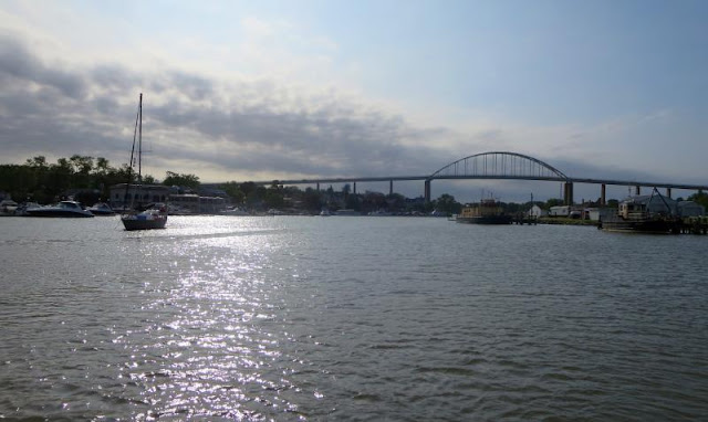
Pretty house but lots of company with the overhead bridge
We sat out today in Chesapeake City due to high winds on the nose predicted for Sunday. We couldn't make the tide right for getting under the Cape May Canal bridges so we'll wait for better conditions on Monday and Tuesday.

Meanwhile, Ann painted and I worked on the 2017 edition of my ICW Cruising Guide. It will be greatly enlarged over the 2016 version with more chapters on what we've learned over the past 35 years of boating and the this year's best routes through the hazards of the ICW.

Good dinghy dock
We never did see the sun today. It seems you never get what you wish for. It's either too hot at 90F or soo cold at 68F like today. Where's the high 70's? There's a standing joke on Long Island Sound that the average wind speed is 10 to 15 kts. That means it's either 0 to 5 kts or 25 to 30 kts, nothing inbetween! We were on the Sound one year and doing the usual motoring during the summer with no wind and we saw whitecap coming towards us from the north. What's that we wondered? There were a line of small, racing sailboats being towed out for racing since there was absolutely no wind ahead of us. Well, the whitecaps finally reached us and our 38 ft sailboat, our first Fleetwing, suddenly keeled over on its side with the gusts to 30 kts. So, sure enough, the average winds for the day was 10 to 15 kts! The same logic holds true for figuring average temperatures when going north during the spring.

Quite a difference from last night when we were one of only two boats
We have eight sailboats in here tonight. We guided one boat in today that ran aground trying to cut the red buoy (passing on the wrong side). All you have to do is read Active Captain. I posted a complete description on how to enter. I guess fewer people read AC than what I thought. At least the anchorage is getting good use. We now plan on leaving Monday afternoon for Cohansey and then Tuesday for Cape May if the weather holds, lots of luck on that score.

Chesapeake City - at anchor (oops, forgot to hit publish button last night)
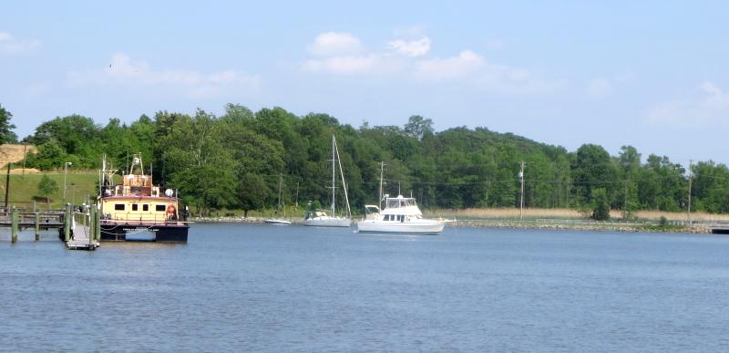
There are only two of us here tonight
We continue our anchoring out leg of our trip north by anchoring at Chesapeake City. We used to see a dozen boats in here but the shoaling has scared many away. We are only one of two boats here tonight. The anchorage continues to offer outstanding protection from all directions with good depths around 10 MLW.

Here's the reason there's even 4 ft at MLW, note the number "6" at the bottom left. He keeps the 4 MLW channel open
However, the reason it's less used than in the past is the shoaling at the entrance. You have to hug the bulkhead on the way in for 5.5 MLW and then make a sharp turn to port when you line up with the two ACOE boats and you'll encounter down to 4 MLW for about 200 ft before it deepens into the anchorage where you find 10 MLW. Just play the tides if you want to come it and enjoy a very peaceful and protected anchorage for the night.

The problem I'm told are the barges that come by in the canal and wash in silt into the entrance. The anchorage itself to the east of the entrance is not affected. The connection channel by the two ACOE boats is affected with only 4 MLW. We only draw 4 ft 9 in so with a 1 ft tide, we're fine.
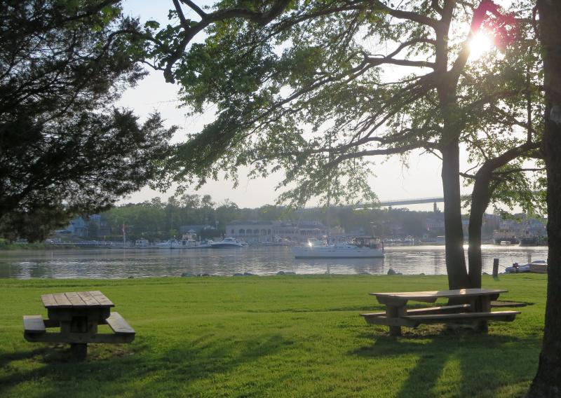
There's a very nice park on the eastern end of the anchorage, great for walking Hoolie
We are waiting out weather for our trip down the Delaware Bay. It now looks like Monday will be okay for a trip to Cohansey at anchor and then on to Cape May for another anchorage before leaving for Atlantic City the next day where we'll take a dock at $1.50/ft. Of course, the weather may (will!) change so plans are preliminary at  best.

Thursday, May 18, 2017

Annapolis - at a mooring

The mooring field is as crowded as ever, what a change of pace from the anchorages of the last two days!
There were small craft advisories out until 10:00 am this morning but the winds were out of the southwest which is partially off land for our northern leg so we thought the conditions would be good enough for a comfortable ride. I rerouted our path to follow the western shore which was a good thing since we saw gusts to 23 kts most of the morning. Usually we take a direct route to Annapolis which involves crossing over to the eastern side of the bay but not this time. With the reduced fetch from following the western shore, the ride was fine.

Hoolie relief is nearby, we use the northern dinghy dock, not the one down Ego Alley
We got in around 1:00 pm and picked up a town mooring. You can now pay over the phone which we did. I took Hoolie into shore and it felt like the middle of summer with the temperature around 90F. Even though it was a Thursday, the place was packed. The town fixed up their docks along Ego Alley with new electrical service and new pilings with canvas fenders rails, much nicer than what was there before.

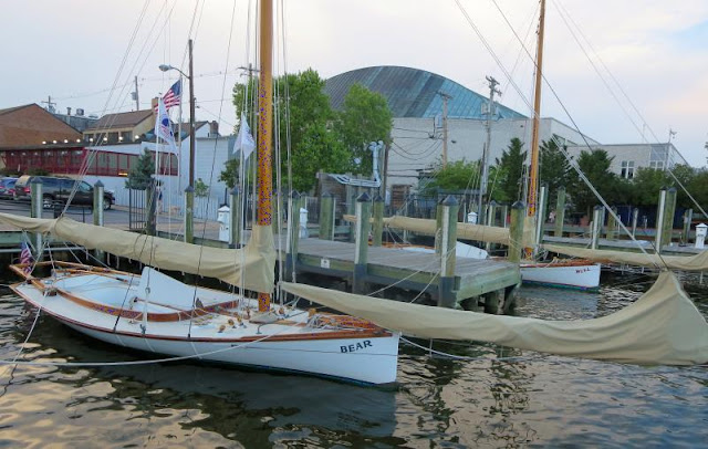
The "Sandbagger" racing class modeled after the original oyster boats of the Chesapeake. Sail area was not controlled.
The mooring field is the same as ever. They charge $35 for one night. We never did get over to Pusser's for a Painkiller. Oh well, maybe next time. On Friday it's off to Chesapeake City and we hope the anchorage isn't too silted in. We made it okay in the fall but it's had another six month to collect more mud. I'll report on what I find.
Nice sunset at Annapolis

Wednesday, May 17, 2017

Solomons - at anchor

A fishing weir - no passage, many are 100's of ft long
We came out of Mill Creek and had to avoid several fish weirs. They are supposed to trap fish as the tides change and I suppose they work given how many are in the area. However, I sure know that the birds take great interest in what's trapped! All you can see when you pass one by are all the birds who appear to enjoy the free lunch. You have to go farther out into the bay to avoid them when rounding north out of Mill Creek.

Off our aft at Solomons anchorage
Once out in the bay we had light winds out of the south and a horde of flies! I cannot imagine where they came from. We had no flies in the Mill Creek anchorage but once past the last marker, flies galore. We had the same experience one time in Long Island Sound. No flies in the anchorages but out in the middle of the bay, lots of them. As we approached Solomons, the fly attack abated, strange.

A view of Fleetwing and the anchorage
There are lots of anchorages in Solomons, about a dozen at least. We like the one by the Holiday Inn due to their $2/night dinghy fee. Most places guard their shore access and don't even offer a fee for use - they want nobody coming ashore on their docks. It's very convenient for Hoolie's shore leave.

On Thursday we're headed for Annapolis and a mooring. I think I owe Ann a painkiller at Pussars. From there we head for the Chesapeake City anchorage and see what develops for weather for going down Delaware Bay.

Tuesday, May 16, 2017

Mill Creek - at anchor

There's a out a dozen boats in all scattered around the anchorage, still plenty of room
We like to leave a dock with "Style" and "Grace" but this morning they jumped ship! I cast off all the lines, I thought, but when Ann started backing out of the slip we suddenly came to a halt. It took a moment to realize that I had forgotten one line tied to the mid cleat and the dock. I was going nowhere with that line attached. We tried a few maneuvers to get close enough for me to untie the line but it was no use. The wind and tide were against us getting any closer. Lucky for us a good samaritan came by and untied the line from the dock.

Typical house along the shore, secluded
After that little excitement we refueled and were off going north. The Chesapeake was absolutely calm with winds less than 10 kts, mostly around 5 kts and the water was flat. With that we made good time to Mill Creek which is just south of the mouth of the Potomac. We like this anchorage since there is plenty of room for a 100 boats if needed and there's dog relief at a nearby deserted beach but I still pick up after Hoolie.

This leg of our trip is our anchoring leg and tomorrow's goal is Solomons in the anchorage by the Holiday Inn. We plan on leaving around 8:00 and we're expecting a crowd at the anchorage given how many boats we saw today. Everyone was backed up due to the windy conditions earlier but the rest of the week is predicted to be relatively calm, I sure hope so.


Monday, May 15, 2017

Hampton - Making plans
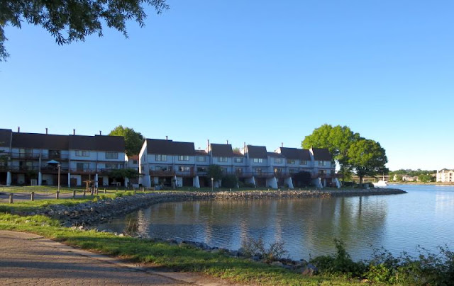
Nearby condos on the water, our morning walk path
The great warm up continues. We bought the last of our fresh veggies and now we're ready for the dash north. For this part of our cruise we'll be anchoring out. There are a lot of anchorages to chose from and they all have allowances for Hoolie to get to shore. First stop will be Mill Creek, then Solomons by the Holiday Inn with their $2/day dinghy dock, then either Rhode River or Annapolis at a mooring, then the Chesapeake City anchorage, followed by the Cohansey anchorage behind the island and if the weather is good, we then hope to make Atlantic City the next day and their $1.50/ft dockage if you belong to Marina Life. From that vantage point, we'll look for a window for our 11.5 hour voyage up the New Jersey coast.

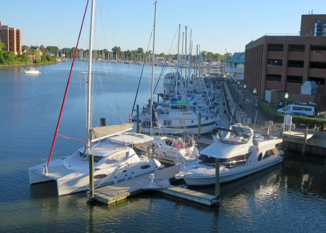
A view of the marina from the nearby bridge, it's not very big but we've always been able to get a slip
Of course, it all depends upon the weather but the outlook is for calm weather for the rest of the week. If that holds, then we're rushing north. The stay here has been very reasonable at $0.75/ft with every fourth day free if you join their cruising club. The membership fee varies by boat length, I pay $75 for Fleetwing. It's good for one year.

The other great convenience here is the Enterprise office about 100 ft away and their $10/day weekend rate which we just took advantage of. However, it's time to go and Tuesday is our day for departure.

Sunday, May 14, 2017

Hampton - Mariners Museum and Park and Dinner with friends

The last surviving example of a figurehead by John Bellamy, stunning in person
Finally, we see the sun! I was beginning to believe we would never warm up. With the good weather, we planned a trip to the Mariner's Museum.  It's an enormous museum dedicated to the history of America's naval battles and the history of naval warfare in general, including the British. The exhibits are very well done and it's a great way to spend the afternoon.

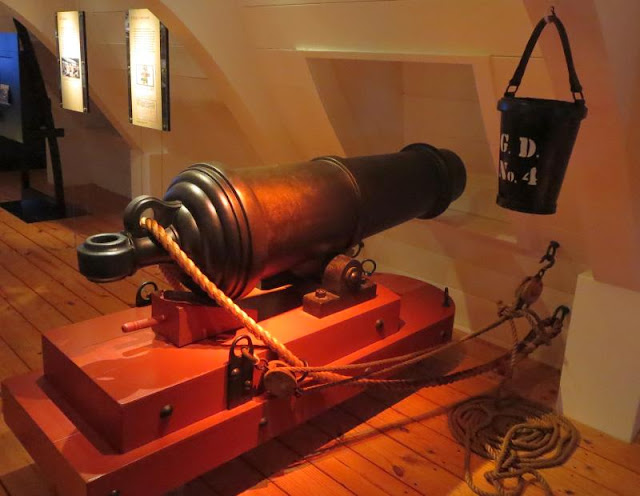
I cannot imagine the noise this cannon made when fired in the confined area of a ship's hold
Today they featured a 3D movie about the Polynesian islands, very beautiful. The exhibits also covered some little known nautical lore. For example, why is the "head" on a boat called a "head?" Well, it's because the old time boats sailed with the wind at their back, off their stern. So the wind was coming from the back of the boat to the front. Given that, where's the best part of the boat to use when you have to go? It's well the wind will take the fumes away from you and the rest of the crew - at the head of the boat (the front)! They had all this valuable information and more posted when you used their restrooms. I feel much better educated now...

You meet great sailors along the ICW - lifetime friends.
We were invited over for dinner with Gordon and Eta and it was a great evening with another couple, another benefit of cruising the ICW. We will be here another day and still plan on leaving Tuesday morning for the Mill Creek anchorage.