Monday, October 31, 2016

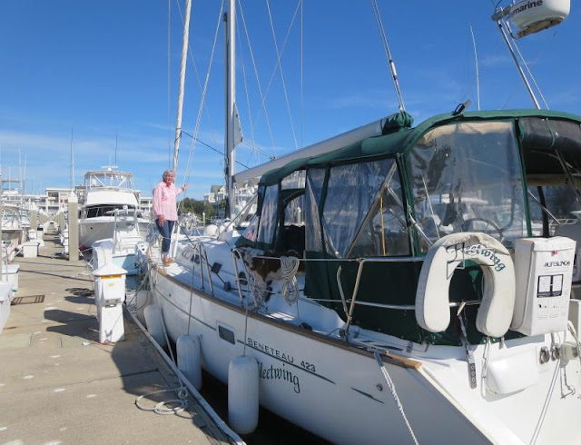
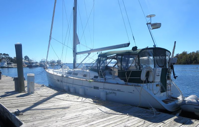
Jacksonville Free Docks - Fendered to a boat at the dock

Fernandina is closed!
The Jekyll Island anchorage was calm as usual and we rose to another perfect day. We headed towards Fernandina which was on the way to the Jacksonville free docks. Fernandina was devastated. We saw a 1/2 dozen boats up on land and there were probably more that have already been recovered. The town marina was closed. No fuel, no transient docks, no dinghy docks, nothing. We heard that it wouldn't' be until April at the earliest until it's reopened according to the local newspaper. You can anchor, or course, but you have no shore access. The moorings are not open either.

No dinghy dock either
Onward we went. The shallows south of Fernandina are no longer a problem. Taylor Engineering with a contract from the Army Corps of Engineers did a depth survey of the shallows and found a 9 MLW path. They published a set of waypoints which I put into a GPX file labeled BFernRed on GPX Routes on my website at fleetwing.blogspot.com. Why sweat the shallows when you have a known good route through the problems? At some point in time, I'm told the Coast Guard will reposition the buoys so we will all be taking the route at sometime in the future. If you have BFernRed then you can take that route now. The rest of the shallow spots are about the same as before Matthew, just follow my posts on Active Captain or in my book.

One of a half dozen boat still up on land at Fernandina
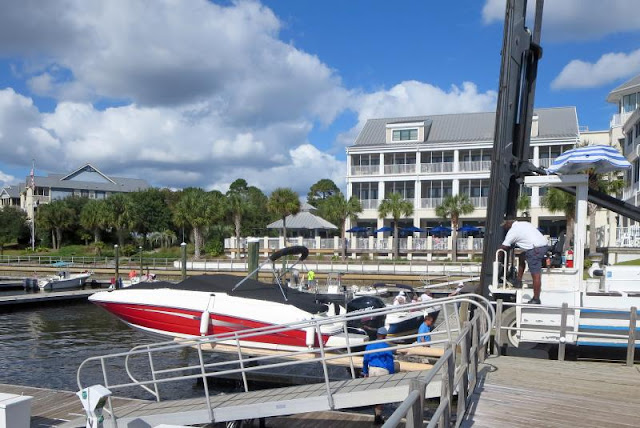
When we reached the Jacksonville free dock we found it full! There were eight boats already docked. We were able to tie up to one of the boats already there so we are secure for the night. The boat between us and the dock will be leaving at first light so we will be leaving at first light too, around 7:15 am, another early start. That should put us into Ft Mantanzas with time to spare and two days away from Titusville!
Secure for the night

Sunday, October 30, 2016

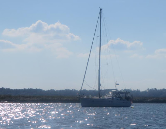
Jekyll Island Anchorage - On the hook

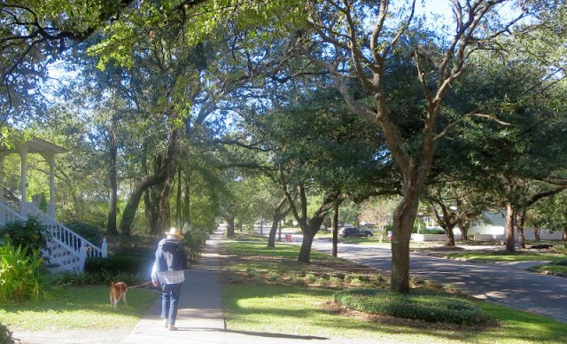
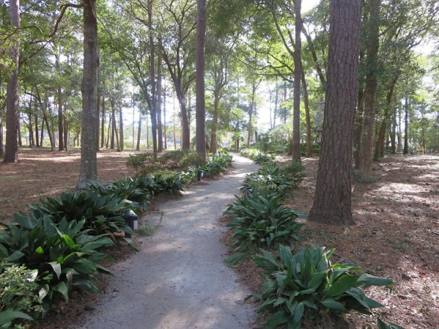
Good looking area for a Hoolie walk
We left at first light in order to have good water at both Mud River and Jekyll Island. We saw one depth down to 4.3 MLW just before the southern exit of Mud River. We had enough tide for that not to be a problem. More details are on my Active Captain post.

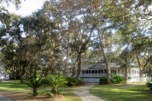
The nearby Jekyll Harbor Marina has nice grounds
We made good time and reached Jekyll Island by 1:00 pm and entered the passage with a 5.3 ft tide which was fortunate, we needed it. In the spring of 2016 I mapped out a route that resulted in a minimum of 5.7 MLW but when I took the same route today the least depth I saw was only 3.1 MLW! What a change from the spring! Not being satisfied with that reading, we anchored just south of the bridge and I took the dinghy north to make more readings. I noticed a sailboat with a 5.5 ft draft that was hard aground by G19. On one side of the grounded sailboat I measured 3 ft and on the other side I got a reading of only 1.5 ft. He was not going anywhere soon. So I did a bunch of soundings between G17 and G19 which was the shallowest I saw in my afternoon run, the 3.1 MLW. I found that the deepest water follows the green side shore (outside of turn) and then sweeps across about halfway to G19 to pass G19 by 80 ft. The minimum on that path is 4.0 MLW, still not wonderful but much better than 3.1 MLW.

Once past G19, the best water is again on the green side by 100 to 200 ft off the red markers towards the green side. You will notice the land curves away and the current and channel follows. You have to resist the temptation to head directly for the bridge once you clear R20 and R20A, resist that temptation and curve around to the green side, it's much deeper, 6 to 6.5 MLW.

It's calm, it's quiet and there's shore access via a dinghy dock - what's not to like
The weather is nothing short of wonderful for traveling. This anchorage is still one of the undiscovered along the ICW. The charts scare most people away, they show only 4 ft at low tide but the charts are wrong. We know it and we've entered the info into Active Captain but many still don't use the anchorage. It's 10 to 12 MLW on a line 20 degrees magnetic from R24. There is a public dinghy dock which we enjoy for Hoolie relief so it is very convenient for us. The holding is outstanding, drop the anchor and forget it.

On Monday we plan on docking at the town free docks by Sister's Creek if there is room. That would position us well for our run to the anchorage at Ft Mantanzas. It's another little used anchorage since the approach is not documented on charts but we know how to get in and have posted the directions on Active Captain.

Saturday, October 29, 2016

Crescent River - at anchor

At anchor in Crescent River
After the events of yesterday, we were looking for a more relaxing day. It started off nice with calm winds and full sunshine. The first test of the day was at Hell Gate which is very shallow at low tide. We had 7 ft of tide so I was not expecting any problems and besides, we found 5.1 MLW in the spring. On this pass through we did not see the same depths. The first turn going south was not a problem with a 5.3 MLW depth but I did increase the stand off from G89 from 80 ft to 120 ft to get the additional depth.

After that I thought all was golden but was surprised to see 3.7 MLW on the way south between R90 and G91 in the middle of the channel. A new shoal? I didn't have time to see if I could go around it. It was centered in the channel. So for me it's back to waiting for tide to navigate Hell Gate.

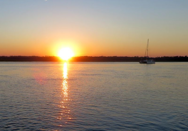
Enjoying a sunset form the cockpit is one of the great pleasures of cruising
We reached the turn off for the Wahoo Creek anchorage and decided to press onward to the Crescent River anchorage which we had never used before. It has even more room than the Wahoo anchorage and also has shore access for pets, at both low and high tide. I think we'll make this anchorage our regular stop from now on between Savannah and Jekyll Island. We are well positioned for Mud River and we'll have at least a 5 ft tide in going through.

We had a great visit tonight from the crew of Lani, a catamaran. It's great fun meeting people along the ICW, it's one of the great treasures of cruising. We hope to reach the Jekyll Island anchorage Sunday night. It's one of our favorites since it's well protected and has a public dinghy dock for Hoolie.

Friday, October 28, 2016

Hinckley Yacht Services at Savannah - At their dock, a long day, many errors

This boat goes for about four Fleetwings
We got up in good cheer intending to reach Kilkenny Marina which would have put us a day ahead of schedule but it was not to be. Our slip at Skull Creek Marina was buried deep into the slips. The long face dock with fuel was wiped out by Matthew, it's all in pieces now. The current was pushing us into the slip at a 1.5 kt rate so we opt'ed to back out and once we had steerage, just to continue backing out all the way rather than trying to make a quick turn in a 1.5 kt current in a narrow fairway. So far so good, it was an okay plan. The backing out part worked just fine. The problem came in that we had to rev the engine so much to make headway in reverse against a 1.5 kt current that the dinghy got caught sideways behind the boat and flipped over. Still not a big problem since it floated fine that way.

What's left of the fuel dock at Skull Creek Marina
What was not so fine was that once we made it out of the marina and prepared to flip the dinghy upright by hauling it with the motor hoist, I noticed that one of the two oars was hanging on by a thread. So I was carefully trying to reach the oar which, naturally, was at the farther point from my reach and in the process the oar let go and started to float away. At least it floated so we turned the boat around and did a man overboard drill which we flunked. After three tries we couldn't get close enough to snag the oar until we put Fleetwing into reverse and backed up to the oar. Got the oar!

However, in the process of doing that, there was a line off the aft of the dinghy (not the painter) that we had used to tie the dinghy to a dock that found its way to the propeller! Not a nice sound! I do not have "spurs" on the prop but it still cut the line and we had propulsion but all was not right. There was a vibration and our top speed was cut by a knot.

Finally we decided to motor on at a reduced speed to Hinckley Yacht Services in Savannah where we've always had excellent service in the past. Dustin, the yard manager, made room for us and even had a diver waiting for our arrival. Ann docked Fleetwing in a 1.5 kt current (a Captain Ron maneuver for those who know the film except those on the dock didn't flee) and the diver had the rest of the aft line from the dinghy off the prop in less than five minutes, just outstanding service. If you even need anything done right on your boat, come here.

So today was a learning exercise. We've been in boating since 1985 but we still have a lot to learn:
Problem 1: Flipped over the dinghy
Error 1: I should have put out enough line so the dinghy could trail along side the boat and not be stuck directly behind sideways.
Problem 2: An oar came loose and floated away
Error 2: I knew that one oar was not securely fastened, I should have fixed that  before it became a problem. Oars should stay with the dinghy even when it's upside down
Problem 3: Wrapped one of the aft dinghy lines around the prop while backing up to retrieve the oar.
Error 3:I saw the line in the water but it didn't register due to sensory overload from backing up and tracking the oar. Besides, are those extra lines really necessary?? A second besides, they should at least all be floating lines. On the dinghy only the painter was floating, the aft lines were not. Those extra lines are no longer on the dinghy!!
Problem 4:  Although we could still motor, part of the dinghy line was still wrapped around the prop and when the diver cut it off, it was apparent that it had melted part of the shaft bushing, not good.
Error 4: I motored about 20 miles to Hinckley and probably made the problem worse compared to stopping at Skull Creek and having the line removed before extended motoring could damage the shaft bushing which is a plastic sleeve.

The diver confirmed that the prop was okay but thought he felt a slight wobble in the shaft. We took Fleetwing out for a test run after removing the line and Ann ran it through a series of rpm's while I was down below feeling the shaft for any vibration (there wasn't any) and ensuring I could see water entering the shaft bushing for adequate cooling. There was no water leakage and the shaft felt cool. After all that excitement, we're going to move on Saturday and plan on anchoring at Wahoo Creek. I hope tomorrow will be less exciting...

Thursday, October 27, 2016

Skull Creek Marina on Hilton Head island - on their damaged docks

Of all things, a sunrise, we do occasionally get up early 
The advantage of  B and B Seafood other than the fresh shrimp is that it's right before the Ashepoo Coosaw cut off. It remains one of the shallowest stretches of the ICW. The shallowest part of the route was right at the southern exit, it dipped to 4.9 MLW just before deepening into the bay. Inside the cut off it was down to 5.1 MLW in places. There's more detail in my Active Captain post. One more thing, I always reduce my numbers to MLW by taking the nearest tide station and adjusting the depths as if I came through at a 0.0 tide. So if you come through when the nearest tide station shows 2.0 ft above low, then you can add 2 ft to all of the MLW readings.

No height boards at McTeer bridge with 2.6 ft of tide
I see some postings that say they came through at low tide and saw, for example, 6 ft of water. How can they see 6 ft when I see 4.9 ft? Well, looking at the date of their passage I looked up the tide that day and found that the low tide of the day was still 1.0 above a 0.0 tide. So just saying, "I came through at low tide and saw XX" isn't enough. The low tide for that day could even be a drain tide below datum! All depths should be reduced to MLW (which is really MLLW but that's another story)  by adjusting the depths for the soundings per the nearest tide station. Knowing the MLW reading, you can adjust what you expect to see by adding the tide level yourself.

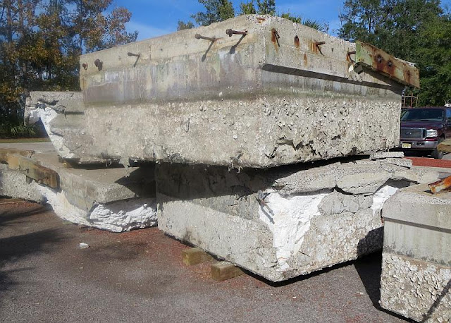
You would think that concrete docks would be pretty durable, not in a hurricane. Note the foam interior
We're at Skull Creek Marina tonight. They sustained extensive damage from Matthew and lost their entire fuel dock, the one by the office that usually docked the transient boats. They had room for us but our dock had no power. They had concrete docks that didn't survive any better than the wooden ones. We passed under the McTeer bridge but they had no height boards, six fender boards were showing with a 2.6 ft tide.

On Friday we hope to make the passage through Hell Gate and find a spot later that afternoon, perhaps Kilkenny Marina which is not much but is a stop over halfway to Jekyll Island. We'd like to make it all the way to the Wahoo River anchorage but that's over 60 Nm, a bit much, Kilkenny is closer.


Wednesday, October 26, 2016

B and B Seafood - at anchor

A sea of grass, that's B and B Seafood's shrimp boat on the way in
We had intended anchoring out at Steamboat Creek but we found ourselves at the entrance by 12:30 and so why not go farther. We reached the north entrance to Dawho River with a rising tide of 1.0 ft so we soldiered on. I saw one reading of 5.6 MLW between G115 and R116 with the rest of the way being much better. The way through mostly followed the ICW line but I'll add more details in my Active Captain post.

Watts Cut wasn't as bad with the lowest reading being a brief 6.1 MLW flash between G143 and G141.  It was mostly 7 to 10 MLW all the way. For those following bridge heights: Limehouse Bridge read 69 ft with a 1.9 tide, MnKinley Washington Jr bridge read 69 ft with a 1.2 ft tide.

Nothing like having your own shrimp boat, cannot be fresher!
We like to stop at B and B Seafood since they have their own shrimp boat which brings in fresh shrimp everyday. However, today their docks were already taken, I guess the good news spreads too quickly - I've got to stop writing about all the special stops I guess - but I won't. I tell all. There is an anchorage just around the bend beyond B and B that was plenty big enough for us so we dropped anchor there and I dinghyed to their docks. I bought a pound of fresh shrimp and we had it for supper, cannot be beat!

Sunset over a sea of grass and hammocks in the distance
We are now in the grasses of the ICW. As far as the eye can see, a sea of grass occasionally broken up by a hammock, a relatively high spot (a few feet) populated by trees. We have to pick our anchorages carefully to find a spot for Hoolie, most anchorages have no shore access. The weather continues to be outstanding for traveling south with temps in the 70's, no rain, full sun, and little wind. We will continue onward Thursday to reach either Isle of Hope Marina or Kilkenny Marina. We are rushing south!

Tuesday, October 25, 2016

Tolers Cove Marina at Charleston - We provision and do laundry

I have no idea what that duck is, never saw one with a crown of feathers
We are now on a bee line for Titusville. The weather is predicted to be excellent for making good time. The only problem is that we'll hit all the shallow spots at mostly dead low tide. Of course that provides some of the entertainment of traveling the ICW but I would prefer it to be just a little duller in that respect. If all goes according to plan, we'll be in Titusville on November 3 (where have you heard that before - if everything goes according to plan...)

Ann enjoys Harris Teeter supermarkets!
Regardless, we're out of here Wednesday morning and plan on anchoring at Steamboat Creek. In fact we're in the part of the trip now where we're anchoring the rest of the way. There are good anchorages along this stretch of the ICW and you can get to shore without the fear of alligators. We plan on ignoring the time change by not setting our clocks back November 1. From past experience, if we converted to standard time from daylight savings time, then my nightly trips with Hoolie to shore would take place in the dark. I rather not do that.

Last sunset at Tolers Cove Marina
The marina here provides free trips to the local supermarkets which in our case is Harris Teeter and even a trip to the laundromat. Both are less than 5 min away. It's more convenient than having a car. The marina is home to a fleet of fishing boats, large Viking boats and a few other makes. When in season, like in the spring, they will leave in the early morning hours before daylight, waking everyone up if they're on a boat. This time of the year they are not active in the mornings, thankfully. It will be a later start then usual since the Wappoo Creek bridge doesn't open for boaters until after 9:00 am.

Monday, October 24, 2016

Tolers Marina - Really shallow water, really

Ann placed Fleetwing into a very tight space, boats in front and behind, she's good!
This looks very close from the helm!
Low tide today was at 10:30 so we left the dock at 7:30 am to catch as much of it as we could. The modest tide (1.1 ft) helped  out some through Minum Creek but then the tide continued to fall and when we reached McClellanville, the tide was at its lowest but still no lower than 0.5 ft above datum. Based on my route last spring where I found 6.1 MLW I didn't think I would have a problem (Wrong!)

Ocean Avenue bridge by Georgetown with a 1.7 ft tide
I ran the same route by following the magenta line on my Garmin chartplotter but instead of getting 6.1 MLW like in the spring, today I could only find 4.4 MLW as a minimum. There were long stretches of 5 MLW. Since I still had 0.5 ft over the MLW datum, I still cleared everything with a couple of inches to spare, we never touched bottom but came awfully close with my 4 ft 9 in keel. I documented everything in more detail in the associated Active Captain post I made today. My advice for those passing through McClellanville at low tide is to first take two aspirins.

I'm convinced we are seeing the last of the ICW. There is no funding for dredging and eventually McClellanville will just be a sandbank. Boaters don't seem to be in the pipeline for funding for the waterways, very sad actually.

We made it through okay and we're now in Tolers Marina for the next two days. We'll provision at Harris Teeter and do a laundry before moving on. The weather continues to be outstanding. I guess it felt guilty for all the bad press from the hurricane and compensated with good weather for awhile.

Sunday, October 23, 2016

Georgetown - at Dry Stack Marina

You had to watch out for torpedoes coming at you (partially sunk speed buoys) 
After learning the bridge was open late Saturday, we just had to leave early on Sunday morning. As you might imagine, there was a flotilla of sailboats headed south. There were five in our group and most were doing max rev, as fast as possible. We all slowed down when we approached the area of the bridge and the flooding. I did not take any pictures, I really didn't want to take photos of other people's miseries, it seemed impolite. You could see just how far up the side of the houses the flood went, at least to the windows on the first floor. For many houses, that's all there was, just one floor. The lawns were all flooded and this was after a lot of the flood waters receded.

Georgetown is a great town to walk through
Sure enough, the Socastee Swing Bridge was operating and today they had a nice lady tending the bridge, I guess the regular guy is on vacation? We were strung out a bit so she held the bridge open for all five of us to get through. The clearance at the 544 bridge was 60 feet today with a 1.2 ft tide. No other bridge had lower than the 544 bridge. Approaching the Socastee Bridge, we bucked a 2.0 to 2.5 kt current all the way. The water was surprisingly clear of debris. We only saw a few small logs here and there, mostly clear water.

Our dock at Dry Stack Marina
Once we reached farther down the river the current reversed and now were we doing 10.2 kts which is almost a 3 kt current! All the floating buoys in place for speed control were under water. Several patrol boats came by in the opposite direction, one was a Coast Guard  boat, checking to be sure we were not producing a wake in the critical areas. We slowed down in all those places anyway.

And, of course, the sunset (over the paper mill)
We are now ensconced at Dry Stack Marina in Georgetown. In talking to the owner, he said they recorded a max gust of 102 kts during Matthew and the water level stretched out into the street by the office. He had a temporary office set up where I paid my bill. We took an evening walk through town and it looked untouched but the water was still high although not over the walkway. There were a lot of sandbags around but by now they were not doing anything, the water had receded from the max height.

Our plan is to reach Tolers Cove Marina Monday night and provision and do a laundry (isn't that fun...) They have a service where they will take you to the nearest supermarket and even a laundromat at no cost, nice folks. The marina is just on the south side of the Ben Sawyer Bridge. We will be going through all the shallow spots at dead low tide just to add to the excitement, wouldn't want things to start getting dull.

Saturday, October 22, 2016

Marina Inn at Grande Dunes - The bridge is open!!!!

Why does anyone need four outboards?
We were sitting on the back of our boat this afternoon when the newly arrived boaters next to us returned from an outing. They announced that they heard the Socastee Swing Bridge was resuming normal operations! Great news! The previous news was that that the repair was going to take two weeks. In retrospect what I think happened was that the bridge operator, who is a real curmudgeon, didn't want to bother answering calls on the bridge status so he gave an outlandish date for resuming operation with the note not to call until sometime next week. I'm sure he's justified in his own head regardless of all the wrong decisions he caused up the line on boats coming down the ICW, he doesn't care. It made his job easier.

We haven't seen debris in the ICW but we're getting some in the marina
So with the new news, we'll head out Sunday morning for Georgetown. We will be on a quick trip south with no extended stops so we can reach Titusville as soon as possible. Unfortunately, we will be  completely out of sync with the tides and will hit every shallow spot exactly at low tide, such is boating.

I took on water tonight and we'll be up early Sunday for shoving off. We are bow into a slip with a good 1 to 2 kt current pushing us into the slip from the flood water. The fun Sunday will be how to back out of the slip. Should  we back out and then put the boat in forward and hope we'll clear what we just left or just back out all the way. I think we'll chose the latter option. Once you have steerage, why give it up in close quarters. I'll take a photo of the bridge for everyone.

Friday, October 21, 2016

Marina Inn at Grand Dunes - NEWS FLASH - Socastee Bridge now operational!!

An overview of the Marina Inn at Grand Dunes
We had a confirmed reservation for a car this morning but to no avail. Apparently they didn't tell their internet page that they had no cars. So I made another reservation for Monday and was told that was approved, so far. There is a Lowes Foods store across the street and even a CVS so we are fixed for essentials. This marina is fine for long term stays but it's a desert for anything to do.

I was asked why don't boaters just go outside to Winyah Bay? Well, many have done just that. It's a 67 Nm trip to Georgetown going outside if you overnight first at Calabash Creek which is just by the Little River inlet. It's far from a class A inlet but doable for a sailboat if you're careful. We chose not to do that so we'll wait for the Socastee bridge to be repaired.

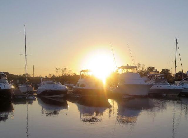
I'll still take the sunset photos, always nice
We are due for a car Monday morning and if that holds up we'll visit the Socastee bridge and take photos and perhaps see first hand what the status is on the opening date. After that we'll just explore the area and provision for the rest of the trip. We've already written off getting to Titusville in time for our slip on 11/1/2016. We will still get there, just not on 11/1.

Thursday, October 20, 2016

The Marina Inn at Grand Dunes - bad news on the Socastee Bridge

Why is the Socastee Swing Bridge needed????
After moving to Grand Dues yesterday we got up in good cheer expecting to move south by Saturday or maybe as late as early next week. Our hopes were dashed by the morning report on bridge and marina status which can be found here. It's the first report we turn to every morning! There we read the bad news, the Socastee Swing Bridge was not expected to be operational until 10 to 15 days later. Judging from past experience, I would expect the 15 days to be more accurate. I cannot understand why they think they still need the Socastee Swing Bridge when about 600 feet south they have a 65 ft high bridge that connects to the same road that the Socastee bridge does! What dunces! With the  bridge non-operational, the ICW is blocked to all traffic. Not even powerboats can get through since the normal 11 ft of clearance is no more.

We are just south of the Grand Dunes Bridge
As you might expect, all the marinas north of the bridge are filling up. At last count there was still room at Barefoot Marina (not Barefoot Landing Marina, they are rebuilding docks) and at Grand Dunes. The marinas north of there are already filled when I called them a few days ago.

I heard from Terri who is south of here and she reported the the long face dock at Fernandina was destroyed in the storm. They don't expect to reopen until May! Their dinghy dock is closed for now due to concerns over debris in the marina. Hopefully, they will open the dinghy dock by the time we get down there. The moorings are closed until they're inspected. We anchor out anyway so it does not affect us although we do need access to the dinghy dock.

The azaleas are in full bloom
We are cycling through the various car rental agencies but none have any cars yet, maybe next week. Meanwhile, we have all we need. The weather has been fantastic with temps in the 70's and no rain although that may change in a few days. I hate to be wasting this great traveling weather on just sitting in a marina! I somehow suspect that when the time comes to finally continue south, the weather will be much different, I hope not.

Wednesday, October 19, 2016

Marina Inn at Grand Dunes - we're here for a week

We're snugged in among a lot of other boats
We were at Barefoot Landing Marina at a part of their dock that was not damaged. We wanted to stay for a week for they did not have a weekly rate. Furthermore, they had a crew coming to repair the docks at which time everyone would have been thrown off. We couldn't live with that level of uncertainty so we headed down to the Marina Inn at Grand Dunes which did have a weekly rate of $8/ft.

 But let's backup a moment. I could not raise the Socastee Swing Bridge so I called a cafe nearby and the dear soul volunteered to walk over to the bridge and inquire as to its status. About an hour later she returned and she heard the the repair crew was not optimistic as to a quick schedule. Both the electrical box and the gears were submerged during the flood and were still under water as of this morning. The repair crew wanted to let everything dry out at least three days before touching anything. They would then repair the electrical connections and search the gear mechanism for sticks, logs, etc, anything that might bind the turning of the swing bridge. Their estimate of when the bridge would be operational was the middle of next week. With that our situation at Barefoot Landing became precarious. I could pay for a month's stay or pay daily, neither option was what I wanted. They would not negotiate a weekly rate. The Marina Inn at Grand Dunes has a weekly rate so we headed south and tied up mid-afternoon. Unfortunately, there's nothing around here but they do have good WiFi and cable TV so we'll amuse ourselves until whenever the bridge is repaired.

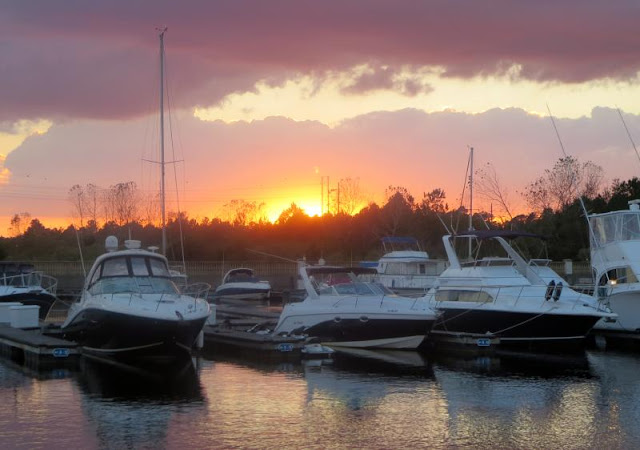
Sunset over boats
In retrospect, I made several bad decisions. The right choice was going ahead to St James Plantation Marina. It was very well protected and we suffered no damage. The bad choice was leaving that marina before we knew the full extent of the damage to the Socastee Bridge. We should have stayed in the Plantation until we knew for certain that the bridge was repaired. After all, it's only a one day trip to Barefoot and the bridge is the next day. We had heard that the bridge was just waiting for the water to go down, that information was incomplete since extensive repairs still had to be made. Once underway, I should have skipped Barefoot Landing Marina due to uncertainty of the repair schedule and gone directly to the Marina Inn at Grand Dunes.

On the other hand, I should have left St James Plantation on the Tuesday after the hurricane instead of waiting a week (I had thought that a week would let things settle down back to near normal). If I had left Tuesday then I could have passed through the Socastee bridge before high water came. The water had to work its way down from Conway and didn't actually impact the bridge until the following Monday, a full week and two days after the hurricane. So even with the experience of six years of going up and down the ICW, you don't always make the right decisions.

So here we sit. We have WiFi, electricity and cable TV, all the comforts of home I guess. It's just that the view doesn't change for awhile. On top of everything else we can't even rent a car, they are all taken by the insurance companies for their customers without homes and/or a car due to the flood. I guess I can't really complain about that since their need is certainly greater than ours. We have plenty of provisions, we won't go hungry and really don't need to visit a supermarket within the next two weeks so we're fine.

Tuesday, October 18, 2016

Barefoot Landing Marina - at their face dock

Well, the wildlife seems happy enough
We felt it was time to move on this morning even with the uncertainty of the Socastee Bridge. At least we had a 6 ft tide going through the inlets which eased any apprehension. The first one was Lockwoods Folly which was pretty straightforward but you had to mind your route closely, mainly just go from red to red. I updated Active Captain with a more detailed description and also listed the Army Corps of Engineers (ACOE) waypoints they recommended which are the ones I followed through the inlet crossing for a minimum of 7.6 MLW.

Some of the trees, however, seemed less happy
Shallotte Inlet was more challenging although not with a 6 ft tide. There's a 50 ft wide neck you have to hit to get even 6 MLW and it's not near a buoy. The best bet is to use the ACOE provided waypoints for the passage which can be downloaded in a GPX file from here. There's more detail on Active Captain for the inlet.

Our next door neighbor
The bridges all had at least 63 ft when we passed under at high tide and the bridge just before the Rock Pile had its fenders underwater! You had to be careful to center yourself in the bridge, it's never a good thing to hit bridge fenders!

For the first time we met boat traffic coming through the Rock Pile. A huge powerboat was heading north and we passed in a narrow section of the Pile with less than 10 ft between us. I was not going to get very far over and neither was he.

All the way to Barefoot we had a foul current of 2.0 to 2.8 kts! The water was just gushing out the inlets. Even with all the current, we saw very little debris except for one loose floating dock which we reported to the Coast Guard. We will be here until the Socastee Swing Bridge is repaired. It's more than just high water. The electrical box for the bridge was underwater and who knows what will have to be replaced. I heard a rumor that it might be repaired by Saturday but I'm not holding my breath. Meanwhile, we'll hole up here for awhile.

Monday, October 17, 2016

St James Plantation Marina - still here but we leave Tuesday for sure

All neatly stacked inside an enormous bulding
With the Socastee Swing Bridge closed due to high water and especially since the water was still rising, we stayed another day at St James Marina. They broke a record in the area with the river cresting at the highest level since 1924. Thousands are still without power but we're fine here. There was a picture of the Socastee bridge posted in the local newspaper and it showed the ICW within inches of the bottom of the bridge. No wonder they have to cease operations. The bridge will be closed all day Tuesday and Wednesday is still up in the air.

This reaches right to the top rack inside
Meanwhile we'll head to Barefoot Landing Marina and probably stay two days unless the bridge situation doesn't improve in which case we'll stay longer. At any rate, we've been here long enough, time to move on. We have to pass through two shallow spots at Lockwoods Folly and Shallotte Inlet but we'll have plenty of tide to help us out.

Time for goodbye
It's been fun here and so well protected. We've made new friends and the people in general are so nice. We will certainly stop by on the way north in the spring to visit with everyone again. We'll leave around 8:30 am, you can track us on Spot (look at the left).

Sunday, October 16, 2016

St James Plantation Marina - Oh no, the Socastee Swing Bridge is closed Monday and Tuesday at least due to high water!

Boats here are routinely hauled and stored in a huge barn protected from wind and rain
The two couples we had dinner with last night who were going south on their power cat left this morning and found that the Socastee Swing Bridge was close indefinitely due to high water! We were planning on leaving Monday morning to reach Barefoot Marina which is still north of the bridge but we were only going to stay there two days. We've already paid for a month's stay here so it would be much less expensive to just wait out any delays at St James rather than at Barefoot Marina. If it's only going to a be a couple of days, then we'll leave St James Monday. If it's longer, then we ought to stay put. Nothing like trying to plan ahead.

The area is a enormous retirement community with lots of activities and is gated with a 24/7  guardhouse. 
There is also a bridge just past the Socastee bridge that supposed to be 65 at MLW but there are reports that it's actually 58 ft. Unfortunately, the reported 58 ft of clearance does not come with the state of the tide. Fortunately, we only need 55 ft 3 inches so we should be fine - but then we do need the Socastee bridge to be operational.

I took Hoolie for a walk at one of the many parks which are part of the community
We're ready. We refueled, got pumped out and I took all the extra lines off the boat today. I'll give a call to the Socastee bridge Monday morning to see their status if they will answer the phone, often times they don't if the bridge is closed. We planned on staying at Barefoot Marina for two days anyway but beyond that it would all be extra time that could be spent less expensively by just staying here.

Saturday, October 15, 2016

St James Plantation Marina - Dinner with friends

Just one good day after another
A nice part of traveling the ICW or any area of boating are the people you meet.  We all have similar interests and most but not all are free to wander (retired...) We all help each other. Jim just bought a power cat and today we were comparing the chartplotter of 10 years ago on the power cat with the iPad relative to ease of creating a route. The first instinct is to put your finger on the chartplotter to create a waypoint. Of course that does not work. The iPad is all touch sensitive in creating a route with just your finger. On top of that, the cost of the iPad and apps are a small fraction of the cost of a Raytheon chartplotter. Welcome to the modern age of boat electronics.

Dinner with boating friends is always nice
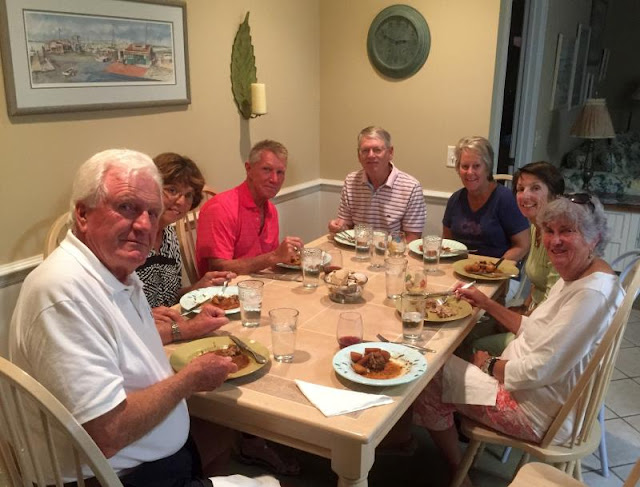
Tonight we were invited over for dinner with the Jim and Eileen McKay who were hosting two other boating couples who arrived in their own power catamarans. They are also headed south although at a much faster rate than us since they cruise at 17 kts or so vs our 7.3 kts. Great conversation and dinner!

We will take Sunday to refuel and unhook from all the lines we put out for the hurricane with the intention of leaving Monday morning for Barefoot Marina. The weather is still warm and we want to get south before cool weather sets in.

Friday, October 14, 2016

St James Plantation Marina - Getting ready

 Barefoot Landing marina damage, courtesy of  Nile Schneider 
We had intended renting a car today but they were all taken. There's a great demand for rental cars given the flooding around here. We've made arrangements with Barefoot Marina for a ride to the nearest Walmart for provisioning so we're fine.

From our friends along the ICW we learned that Barefoot Landing Marina, the one with the long dock next to all the shops, suffered damage and will not be open for awhile expect for a few spots along the undamaged portion of their dock. We will go across the channel to Barefoot Marina which came through unscathed.
This section of the ICW was exposed to the east winds of Matthew and suffered
We have friends traveling down south by car and they stopped by Fernandina and found that the marina there, the Fernandina Harbor Marina, is closed due to damage by hurricane Matthew and will probably not reopen until spring. That's the marina everyone stops at for access to Fernandina.

When we made our run to Lockwoods Folly yesterday, the ICW was clear of debris including adjacent to rivers so we feel good about heading south again on Monday. There is still lots of flooding south of us but the ICW should be passable.

Thursday, October 13, 2016

St James Plantation - We sound out Lockwoods Folly and Shallotte inlets.

Hank Pomeranz met us at St James and we took a ride to the two inlets south of here with Jim McKay helping out too. We wanted to test the depths found if we followed the ACOE waypoints for the inlets. Along the way we noted that the ICW was clear, we didn't see any floating debris. Even by the side streams and rivers between here and Shallotte Inlet, all was clear.

Approaching Lockwoods Folly we had the Garmin Mobile app displayed on the iPad mounted on the pedestal. I brought up the ACOE waypoints for the inlet and Hank followed them exactly with the lowest reading being 6.7 MLW. We doubled back several times to be sure the reading was accurate. Here's the ACOE chart for Lockwoods Folly.

There is a path through but you ought to follow the ACOE waypoints
Then it was on to Shallotte Inlet which proved to be more difficult due to a narrow stretch of shallow water right by the Active Captain hazard marker. The ACOE path through showed 5.0 MLW at the least depth, it was 12 MLW approaching the shallow spot and 12 MLW after. Going farther south it shallowed again to 6 MLW by the last red buoy, R82. We found the path through to be very narrow, perhaps 30 to 40 ft wide at the hazard marker and by R82. While doing the soundings we guided one boat through and offered to guide another one but got the reply, "We live around here" so we moved on. We could see he was too far to the green side and sure enough, we saw him suddenly stop, lean over and then twist sideways in the channel, he had gone aground. We could have guided him but he didn't want our help, "He was a local". Here's what you're up against at Shallotte Inlet from the ACOE chart.
Note especially the orange area just above G81. The ACOE waypoints will thread you through, no room for error

So in summary, if you follow the ACOE waypoints for Lockwoods Folly you're fine for 6.7 MLW. If you follow the ACOE waypoints for Shallotte Inlet you're okay for 5 MLW. We explored being just to the red side of the ACOE waypoints for Shallotte and found perhaps a foot more depth but the channel is very narrow! So how do you get the ACOE waypoints? You can access their site and enter the waypoints manually or you can download them as a GPX file from this blog site over at the left, "GPX Routes". The one GPX file BAllFiles has all of the routes in one package. Load BAllFiles and you get all the routes. For the iPad, the best application to use is the Garmin Mobile app. The surest way to load them is to send them as an attachment to an email to yourself using your laptop or desktop and then open the email and then the attached file on your iPad. You will get a choice of loading them into the Garmin app after a long press on the attached file. Of course you can load them into any program that accepts GPX files, all PC apps do but not all iPad apps. By the way, the links in ACOE Survey Routes (one of the selections under ICW Tips) will always show the latest ACOE survey for the area listed, they update automatically. You can also get the waypoints off the surveys which is what I used to create the GPX routes.

We still are looking to move south on Tuesday morning which will give us 5 ft or so of tide through the two shallow areas.